How TEKEVER & CRFS collaborated to fit UAS with ultra-sensitive RF receivers as a payload
DOMAIN: MultiAPPLICATION: Intelligence, surveillance & reconnaissanceCUSTOMER: System integrator
SITUATION: The world is not flat
Armies, navies, coastguards, border control. Any agency monitoring a vast area of land or sea shares the same problem: geolocating ground-based targets from a long distance.
As the world is not flat, and it is impossible to see over the radio horizon, accurate and reliable geolocation from the ground is problematic. Increasing line of- sight (LOS) is crucial for TDoA (Time Difference of Arrival) systems because it directly impacts the accuracy and reliability of the positioning measurements. A clear and unobstructed line of sight between the signal source and the receiving antennas is essential for optimal performance.
To see further, you need to go higher.
SOLUTION: Fitting drones as a payload on UAS
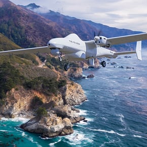
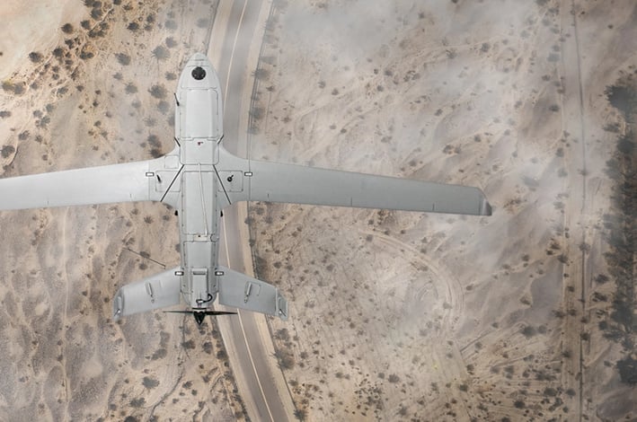
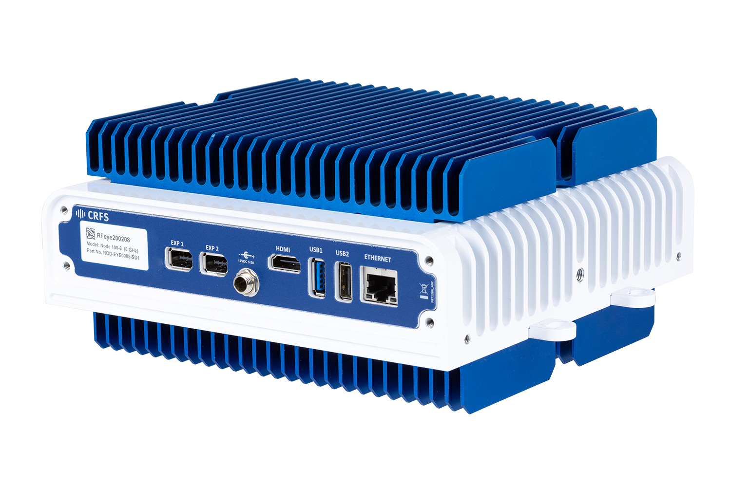
Many customers use TEKEVER’s drones for surveillance and CRFS’ RFeye Nodes for geolocation. The TEKEVER AR5 has an endurance range of 20 hours, a payload capacity of 50 kg, and a cruise speed of 100 km/h. The RFeye Node is a lightweight and rugged RF receiver with a 100MHz IBW and a frequency range of up to 40GHz.
Yet these solutions were used separately for intelligence, surveillance, and reconnaissance (ISR) missions—until one customer saw the increased value of combining the two assets. They wanted to deploy highly-sensitive RF sensors on sub-tactical unmanned aerial systems (UAS).
The end-user wanted the altitude advantage TEKEVER UAS offered to allow CRFS’ sensitive receivers to carry out advanced TDoA and geolocation of ground-based targets long distances away. So it brought the two companies together.
TEKEVER and CRFS co-coordinated the project and fit the AR5 RFeye Nodes for monitoring, I/Q capture, geolocation, and TDoA. The teams worked relentlessly, confronting a host of technical challenges. One of the most significant was that UAS have various transmitters onboard, so the technical teams designed a solution to establish the best position for the antennas and the required filtering. They used Silvus radios for the downlink of data from the Node to the ground station.
Field trials began after considerable joint engineering work and training on how to carry out RF measurements.
RESULTS: Increased line-of-sight (LOS)
The combination of TEKEVER’s UAS and CRFS’ RFeye Nodes provides an increased line of sight, allowing teams to geolocate ground-based targets situated beyond the horizon using ultra-sensitive RFeye Nodes.
The partnership between TEKEVER and CRFS gave the end-user an asset with many potential applications—maritime surveillance, search and rescue, border monitoring, military ISR, and even regulatory spectrum monitoring. UAS fitted with an RF sensor as a payload can be employed for any application covering a large land or sea area while searching for ground-based targets.
The user can combine the integrated UAS with existing ground-based units to create an adaptable multidomain network of receivers for advanced passive ISR over huge areas. Moreover, as increasing altitude allows signals to be detected at greater distances, spectrum monitoring receivers can be operated at greater distances from active combat zones.
Related products
Hardware and software related to this deployment story.

RFeye Mission Manager
RFeye Mission Manager is a toolset for automated spectrum management and near-time incident reporting.
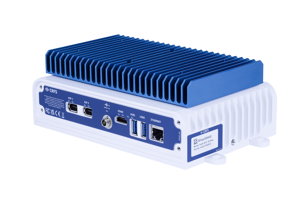
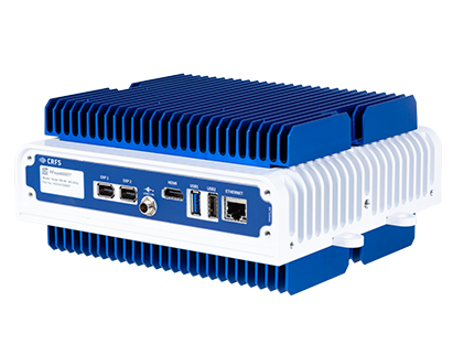
RFeye Node 40-8
A wideband RF receiver to ensure you never miss a signal. The RFeye Node 40-8 provides the latest superheterodyne receiver technology to provide outstanding quality and performance at a highly competitive price.
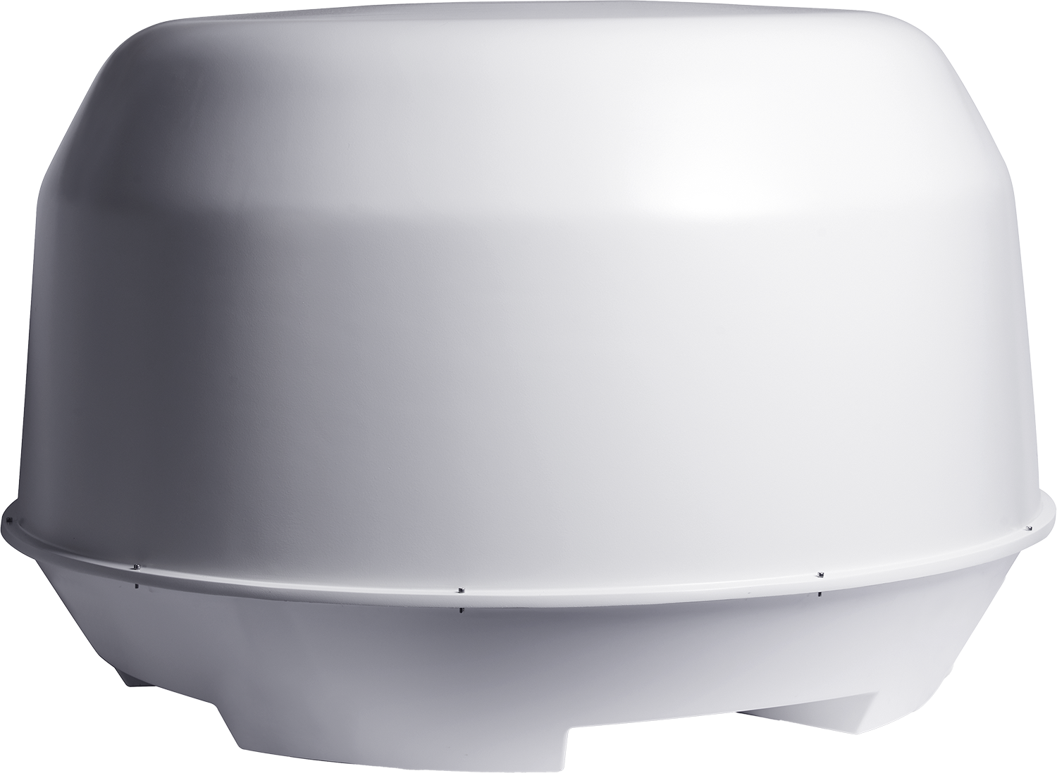
RFeye Array 100
Direction finding and advanced plug-and-play geolocation system. Fully integrated, multi-mission systems for fixed, vehicle, or transportable applications with simultaneous DF, monitoring, and geolocation capability.
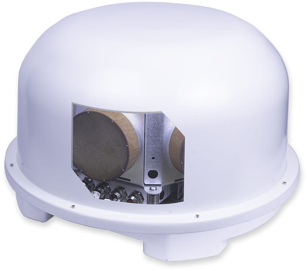
RFeye Array 300
High-performance simultaneous wideband radio monitoring, DF, and geolocation. Vehicle-mounted or fixed deployment with 8GHz, 18GHz, or 40GHz options. Two Nodes enable you to receive and record I/Q simultaneously.

RFeye Site
RFeye Site is a toolbox to monitor the spectrum in real-time and geolocate signals in complex RF environments.
RFeye Node 100-40
RF receiver with a 100MHz instantaneous bandwidth. Packaged in a lightweight weatherproof rugged form, the Node 100-40 delivers 24/7 365 spectrum vigilance for long-term deployment in harsh environments.
RFeye Node 100-18
The wideband RFeye Node 100-18 is a complete spectrum monitoring and geolocation system. Optimized for size, weight, and power (SWaP), it is simple to connect, power, and network.